October 10, 2025
Hyperspectral Data: New Science to Save Islands

Island Conservation Innovation Team Members and Mississippi State University Researchers Co-Author Scientific Publication on Using New Method to Identify Invasive Species
Island Conservation researchers David Will, Head of Innovation, and Timo Sullivan, Drone and Data Insights Specialist, have collaborated with Daniel McCraine, Dr. Sathishkumar Samiappan, and Leon Kohler of Mississippi State University on a groundbreaking scientific publication titled “Automated Hyperspectral Feature Selection and Classification of Wildlife using Uncrewed Aerial Vehicles.” This research, published in Remote Sensing, explores the feasibility and practicality of utilizing uncrewed aerial systems and cutting-edge hyperspectral imagery (HSI) to classify animals in the wild based on their spectral characteristics, a new method in the field.
The study focuses on exploring the potential for wavelengths of light beyond the visual spectrum to improve the timely and accurate detection and estimation of animal abundance, particularly for invasive species residing in dense vegetation and under canopy. By developing methods to accurately classify animal targets based solely on the wavelengths of light their coats reflect, even when their form is significantly obscured, this research aims to enable landscape-scale surveillance and management responses at a cost-effective level—a key tool for conservation and rewilding projects.
David Will, Head of Innovation, said, “The accurate and timely detection of invasive mammals at low densities is one of the biggest limiting factors that limits our ability to accelerate island ecosystem recovery. Current drone-based detection methods rely primarily on an animal’s shape or heat signature, which usually means you need to see whole animals to detect them – and even then these methods have a hard time telling the difference between different species. We would really benefit from a method that could positively identify a specific animal species when just a small part of it is visible from the air.”
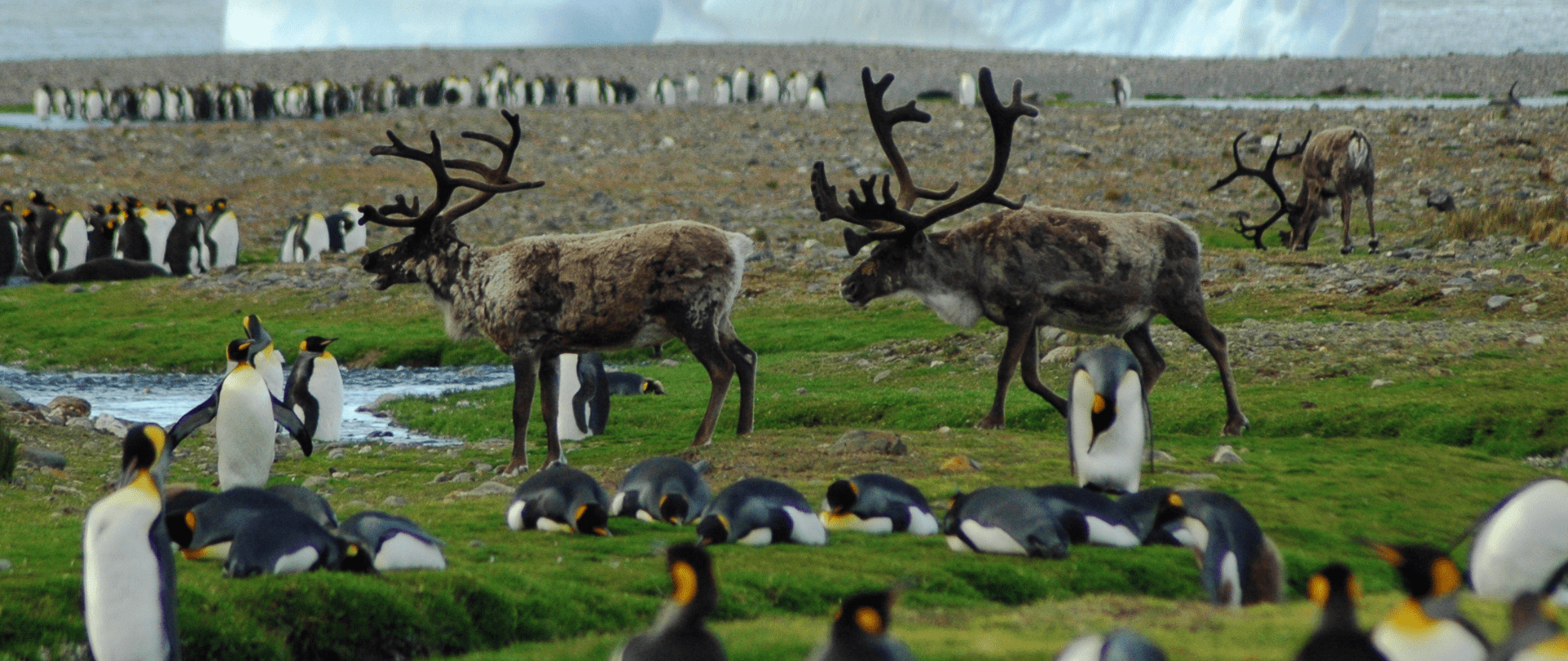
The researchers collected hyperspectral imagery of four species of large invasive mammals on islands: cows, horses, deer, and goats. By creating a hyperspectral library of these mammal species, they were able to study the efficacy of HSI for animal classification. This library also enabled them to assess the effectiveness of sequential and deep learning neural networks in classifying the HSI pixels.
Dr. Samiappan said, “The use of visible light alone requires us to recognize the shape, color, texture and other features of the animal which is often difficult due to the nature of the environments. While the use of HSI can produce large data but the detection can be performed with the information in the pixels alone. In our previous research, we studied the use of visible and thermal with mixed success; HSI is an obvious extension. With this research, we are hoping to develop methods that improve the detection accuracy while keeping the data processing small.”
The results of the study demonstrated that the information derived from HSI was sufficient to classify the four species with an overall accuracy of over 90%. Some classifiers even achieved an overall accuracy exceeding 98%, indicating the feasibility of using only spectra to classify animals to species from existing sensors.
However, the research also uncovered challenges associated with the use of HSI for animal detection, including intra-class and seasonal variations in the species’ spectral reflectance, as well as the practicalities of collecting and analyzing HSI data over large meaningful areas within an operational context.
“These results give us confidence that there could be measurable improvements in our ability to detect wildlife if we are able to collect and use additional wavelengths of light. We are actively pursuing the development and testing of next generation sensors and approaches for spectral wildlife detection,” said Timo Sullivan, Drone and Data Insights Specialist.
To further enhance the practicality of using spectral data for wildlife and invasive animal management, the researchers emphasize the need for additional research into spectral profiles under various real-world conditions, optimization of sensor spectra selection, and the development of on-board real-time analytics.
This groundbreaking new method opens up many possibilities for wildlife management and invasive species control, providing cost-effective tools for accurate classification and surveillance. The collaboration between Island Conservation and MSU highlights the innovative capabilities of drones and imaging technologies to push the boundaries of scientific knowledge and practical applications.
Media inquiries:
Bren Ram, Island Conservation: bren.ram@islandconservation.org
James Carskadon, Mississippi State University: jcarskadon@opa.msstate.edu
Photos (credit: Island Conservation): https://drive.google.com/drive/folders/19-VGHYZUsjD4NXBMOmLoUMfKROVXL9zu?usp=drive_link
About the collaborators:
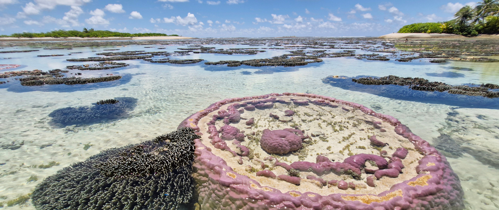
Island Conservation is our world’s only international nonprofit conservation organization dedicated solely to preventing extinctions on islands. Our collaborations with local island communities aim to improve livelihoods, manage invasive species, and reintroduce native animals and plant life. Island Conservation is a United States-based 501(c)(3) charitable organization working through diverse local and international partnerships to foster sustainable development, climate resilience, and healthy island-marine ecosystems across the globe. Visit us at islandconservation.org.
Department of Mechanical Engineering at Mississippi State University isthe largest academic department in the Bagley College of Engineering and the third largest department in the University. The department is well recognized nationally and internationally for its excellence in engineering education, research, scholarships, service and outreach.
Geosystems Research Institute at Mississippi State University is a collaborative of academic scientists, engineers, and government and industry stakeholders active in conducting research to advance knowledge and practice in earth and its systems to improve policy and public awareness.
Want to learn more?
Check out other journal entries we think you might be interested in.
March 11, 2025
Press Release: New eDNA Tool Can Detect Invasive Rodents Within an Hour
New environmental DNA technology can help protect vulnerable island ecosystems from destructive invasive species.
December 10, 2024
New Tech for Island Restoration: Sentinel Camera Traps
We're using a cutting-edge new tool to sense and detect animals in remote locations. Find out how!
December 9, 2024
New Paper Demonstrates Quality of eDNA Monitoring for Conservation
Groundbreaking research has the potential to transform the way we monitor invasive species on islands!
May 20, 2024
International Biodiversity Day: Harnessing innovation to reverse biodiversity loss
Happy International Day for Biological Diversity! We're using innovation to accelerate recovery on islands around the world. Find out how!
May 6, 2024
Late Island, Tonga: Implementing and Monitoring Conservation Actions that Work!
Our team returns from Late Island, Tonga with reports that our conservation actions work! Read notes from our Conservation Impact Director!

March 18, 2024
Thirty, Birdy and Thriving
Island Conservation turns 30! Three decades of work add up to an immeasurable number of positive impacts.

March 5, 2024
Conservation’s Best Innovators
Investing in new technology and harnessing the power of innovation to save islands is at the core of what we do. Find out how!

March 4, 2024
Harnessing Machine Learning Solutions from Lenovo and NVIDIA to Restore Island Ecosystems
Machine learning is helping restore Robinson Crusoe Island! Lenovo's Work for Humankind initiative funds the cutting edge of conservation.

March 4, 2024
Request for Proposals: Aerial Support for Environmental Conservation Project in the U.S. Virgin Islands
Island Conservation seeks proposals from companies that can provide aerial support in the form of Uncrewed Aerial Systems or Helicopters.